
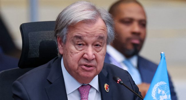
The world is entering an extreme weather “danger zone” as a powerful El Niño event intensifies, with the phenomenon expected to reach very strong levels later this year, United Nations Secretary-General Antonio Guterres has warned.
Guterres said the scale of the developing El Niño was becoming increasingly concerning as ocean temperatures rise and global temperatures continue to climb.
“El Niño is being supersized before our eyes,” he said, warning that the planet was entering “uncharted waters” as sea surface temperatures increase.
The warning follows a forecast by the World Meteorological Organisation that El Niño will intensify in the coming months and peak towards the end of 2026. The organisation said its effects could continue into 2027, with an almost 100 per cent likelihood that the phenomenon will persist through February.
Floods, drought and extreme heat
The WMO warned that the strengthening El Niño could bring significant changes to rainfall and temperature patterns, increasing the risks of floods, drought and extreme heat.
WMO Secretary-General Celeste Saulo said the event could deliver a “massive blow” to communities and economies around the world.
She said droughts and floods were already causing disruption and devastation, adding that the impacts were expected to worsen as El Niño strengthens.
Disaster management authorities and climate-sensitive sectors, including agriculture, health, energy and water, have been urged to prepare for the potential consequences.
El Niño is a natural climate phenomenon and is not caused by climate change. However, scientists expect it to intensify the effects of a planet already warming because of greenhouse gas emissions from fossil fuels.
The last El Niño contributed to exceptionally high global temperatures, with 2024 remaining the hottest year on record.
Pacific Ocean temperatures surge
El Niño occurs when surface waters in the central and eastern equatorial Pacific Ocean become unusually warm, triggering changes in atmospheric circulation, rainfall and temperatures across different parts of the world.
Major El Niño events can contribute to drought in parts of the Amazon, Indonesia and Australia, disrupt monsoon patterns in India and alter rainfall across tropical regions.
The WMO said forecasts for September to November indicate a heightened likelihood of above-normal temperatures across almost all land areas.
Ocean temperatures are also showing signs of an unusually strong event. Sea surface temperature anomalies in the central-eastern equatorial Pacific increased from an average of 1.5°C above normal between May and July to weekly values of about 2.2°C to 2.6°C above average between late July and mid-August.
In some areas, temperatures below the ocean surface were more than 8°C above average during July and early August.
The WMO classifies El Niño events as weak, moderate, strong or very strong, with the developing event expected to reach the highest category.