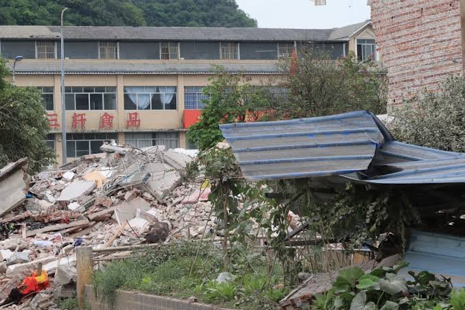

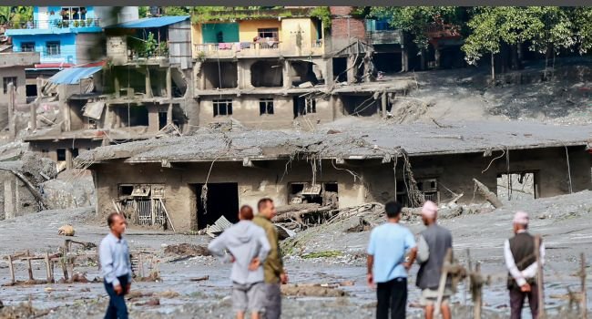
At least 165 people have died after devastating flash floods and landslides swept through communities along the Nepal-Tibet border, with more than 1,000 people still reported missing as rescue teams search through thick mud and debris.
The disaster struck on Wednesday, August 26, sending a powerful torrent of water, ice, rock and mud through villages and towns along the Bhote Koshi and Trishuli rivers.
Videos from the affected areas showed walls of mud engulfing buildings and sweeping away vehicles, while entire communities were left submerged or buried.
The disaster has also affected tourists and foreign nationals travelling in the region, with hundreds reported missing. Rescue operations are continuing amid damaged roads, power infrastructure and difficult mountainous terrain.
Glacial collapse, not earthquake
The US Geological Survey initially recorded seismic activity in the area, leading to reports that an earthquake may have triggered the disaster.
However, further analysis changed that assessment.
The USGS said additional analysis of long-period seismic waves and satellite imagery showed that the seismic energy was generated by a glacial collapse and debris flow, rather than an earthquake.
The collapse sent huge quantities of ice, rock and debris into the river system, creating a rapidly moving flood that travelled downstream into both Nepal and Tibet.
The International Centre for Integrated Mountain Development (ICIMOD) separately assessed that a rock-ice avalanche in Nepal blocked the Lhende River and triggered the cascading flood.
Why the Himalayas are vulnerable
Experts say the region’s steep terrain makes communities particularly vulnerable to sudden floods, landslides and debris flows.
Climate change is also increasing concern about the stability of glaciers, permafrost and mountain slopes.
Dorothy Heinrich, a researcher at the University of Reading, said warming in the Himalayas is associated with more heatwaves, glacier retreat and permafrost reduction, all of which can contribute to landslides and glacial outburst floods.
However, scientists have cautioned against directly attributing this specific disaster to climate change without a formal attribution study. Such studies compare the likelihood of an event under today’s warming conditions with conditions before significant human-caused warming.
Why there was little warning
One of the most striking aspects of the disaster was the lack of significant rainfall beforehand.
Hydrologist Hatim Sharif of the University of Texas at San Antonio said the absence of rainfall could make conventional flood-warning systems ineffective.
He said people caught directly in the path of a fast-moving mixture of water and debris would have little chance of escaping by running or using vehicles.
Instead, he said moving rapidly to higher ground would offer the best chance of survival.
Experts have also suggested installing river-level gauges capable of transmitting real-time information to authorities. Such systems could potentially provide residents with 20 to 30 minutes of warning in future events.
Risk of another flood remains
The danger may not be over.
ICIMOD climate and environmental risks head Qianggong Zhang warned that an upstream blockage could create the possibility of another flood.
Rescue teams are therefore working under difficult conditions while authorities continue monitoring rivers and unstable terrain.
The scale of the disaster has prompted international assistance, with neighbouring countries and other governments offering support as search and rescue operations continue.